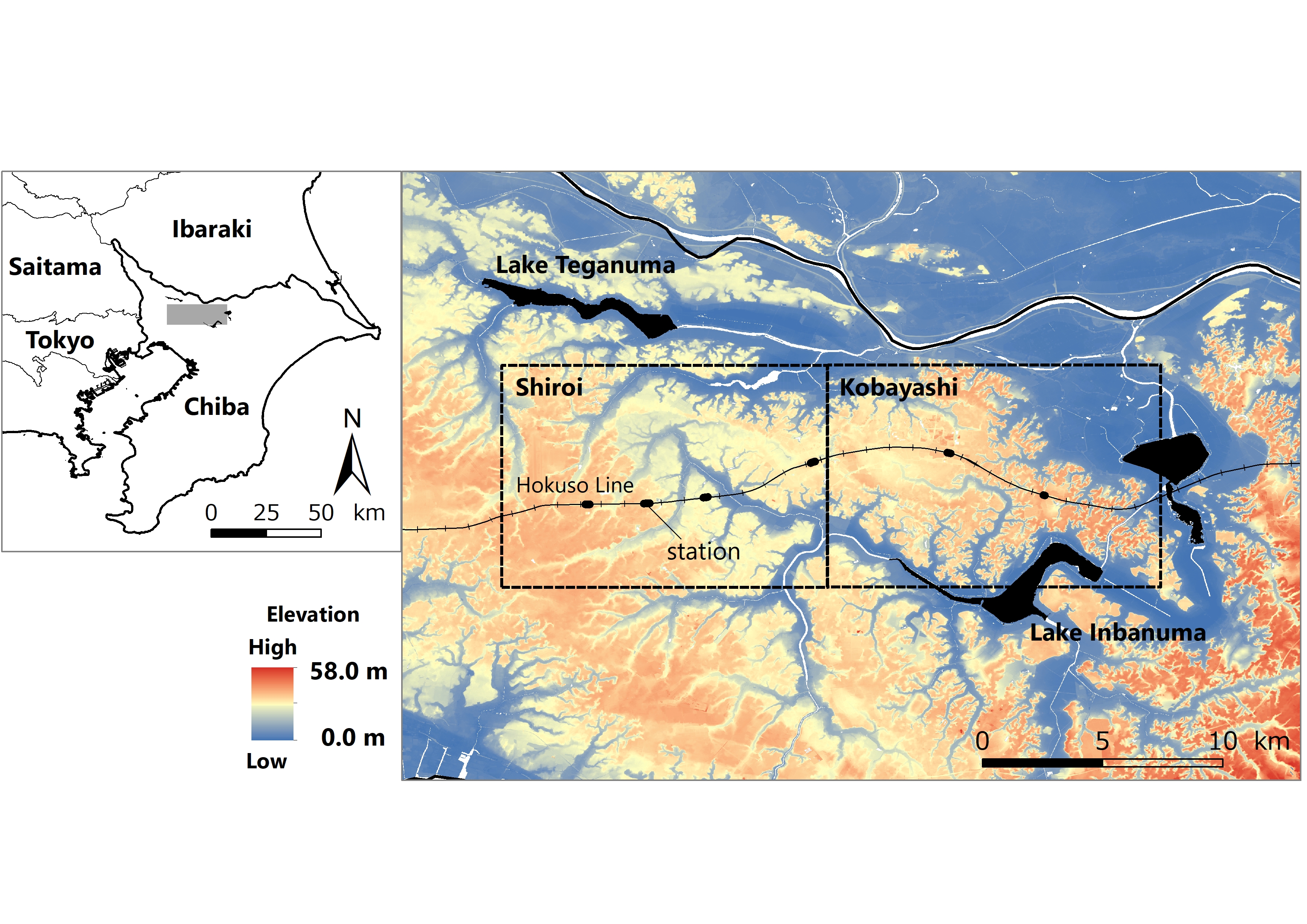
Survey area. The subjects of the survey were "Shiroi" and "Kobayashi", which are indicated by broken lines. Black circles indicate train stations. The projected coordinate system was used as Japan Plane Rectangular CS IX (EPSG: 2451).
|
|
||
|
Survey area. The subjects of the survey were "Shiroi" and "Kobayashi", which are indicated by broken lines. Black circles indicate train stations. The projected coordinate system was used as Japan Plane Rectangular CS IX (EPSG: 2451). |
||
| Part of: Noda A, Kondoh A, Nishihiro J (2019) Changes in land cover and grassland area over the past 120 years in a rapidly urbanised area in Japan. One Ecosystem 4: e37669. https://doi.org/10.3897/oneeco.4.e37669 |