| |
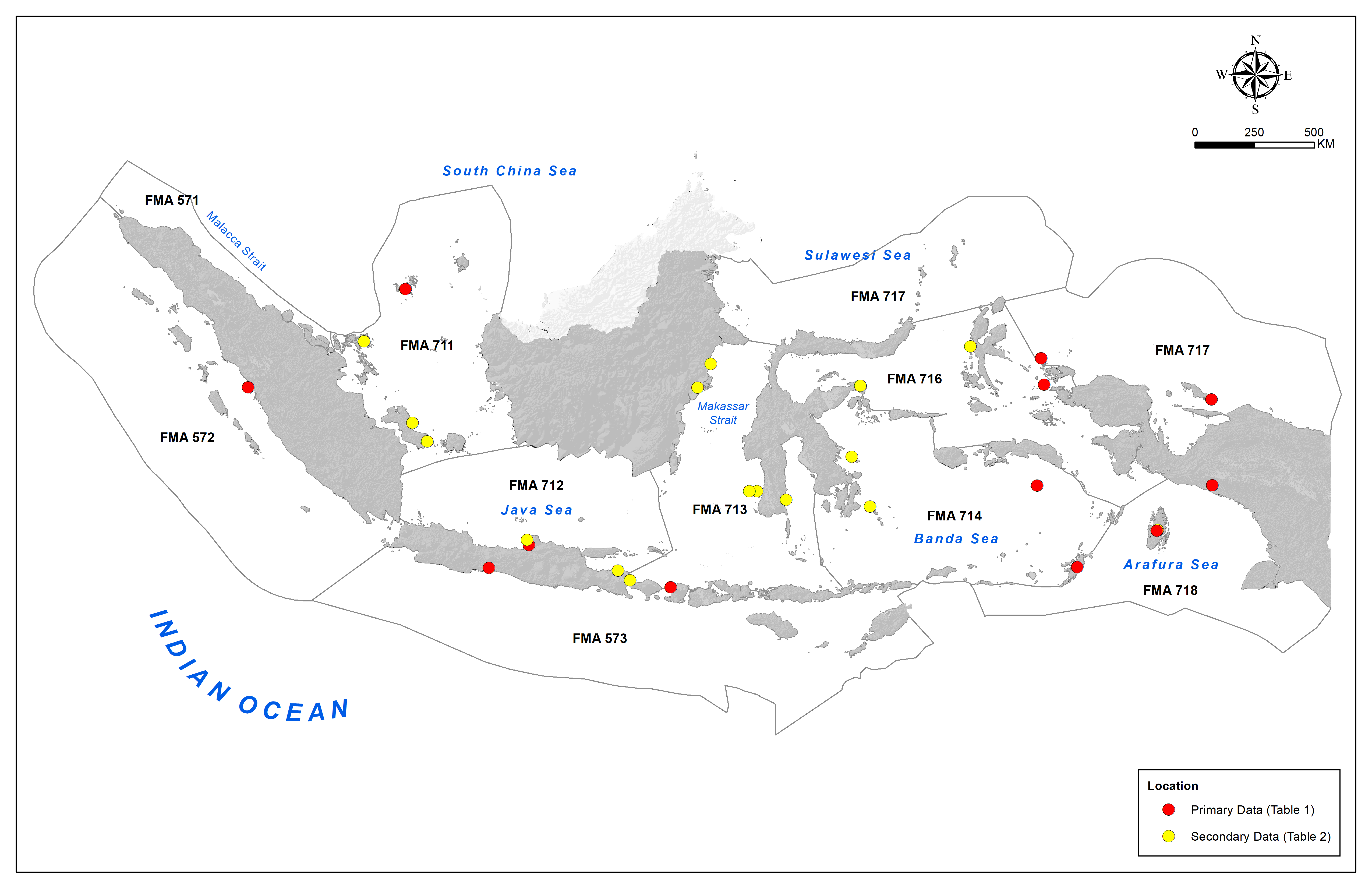
Extent mapping area coverage of Indonesia’s coastal ecosystems. Indonesia’s eleven fisheries management areas (FMAs) are distributed across the Indian Ocean (571, 572, 573) and the Pacific Ocean (711, 712, 713, 714, 715, 716, 717, 718). Locations of ground-truth data are denoted by dots.
|
|
| |
Part of: Gunawan TS, Hamidah M, Rahayu AK, Septiani NN, Pingkan J, Hermansyah A, Farhan M, Sholihah R, Arundina AB, Minarni DR, Susanti R, Gustiar GG, Kusumastuti DN, Maharani GR, Nurhakim MD, Khalishah PV, Rahman IF, Nugianto N, Hakim A, Agung F, Rosdiana A, Retnoningtyas H, Hartati ID, Muttaqin E, German S, Gacutan J, Yulianto I (2025) National-scale mapping of ecosystems to improve ocean accounting for marine and coastal management in Indonesia. One Ecosystem 10: e155166. https://doi.org/10.3897/oneeco.10.e155166
|
|